 Caminantes
Plan every stage. Track every step.
The offline Camino de Santiago companion. Ten routes, your own daily stages, live GPS tracking with real elevation profiles, and photo memories pinned to the map. Free, and it keeps working where the signal does not.


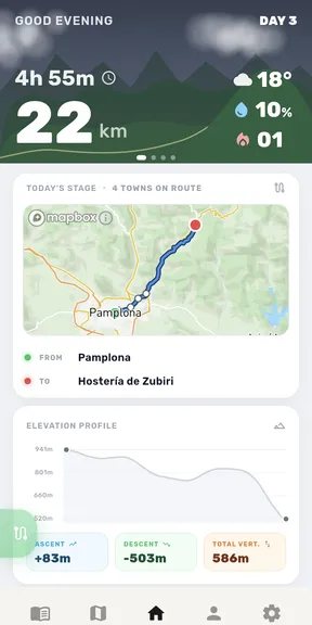
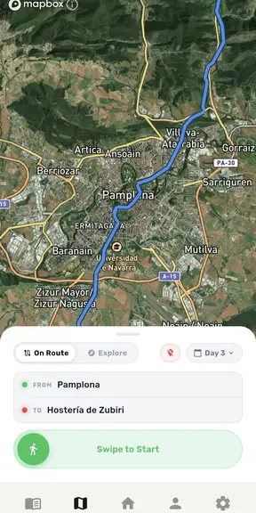
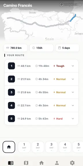
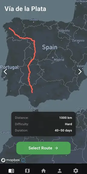
Most Camino apps are guidebooks. This one walks with you.
Guides tell you what is ahead. Caminantes records what you actually did, and keeps working when the signal does not.
Works with no signal
Maps, stages and elevation are cached before you leave. The meseta and the mountains are full of dead zones. The app does not care.
Live tracking that means something
Distance, pace, steps and elevation gain, recorded as you walk, with a real profile of every climb instead of a flat line.
Free, with no paywall
Every planning and tracking tool is free. Have a look around before you sign up, then a free account keeps your stages, your walks and your photos safe across devices. The Spanish courses are a separate thing and they are paid, so they have their own home, with the prices on the plans screen there.
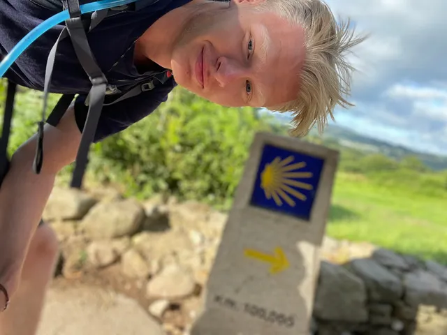
“I walked the Camino, got caught out by the climbs, the dead zones and a dying battery, and found no app that actually solved it. So I spent two years building one. Then I took it back to Spain and walked the Camino again to make sure it worked.”August, solo developer. Denmark.
Ten routes, all offline
Plan your own stages instead of walking someone else's. Split a long day, join two short ones, or follow a route variant.
Before you go
Two things worth reading while you are still deciding.
Free, offline, and tested on the trail.
Take it on your next stage and see if it holds up.